
Beskrivelse
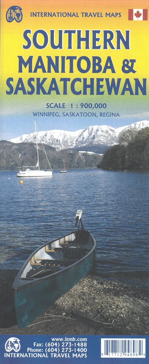
This map sheet offers a detailed look at Southern Manitoba and Saskatchewan, highlighting key cities and major roads. It provides a clear view of Winnipeg and extends north to Flin Flon on one side, while focusing on Saskatchewan's southern region up to Prince Albert National Park on the other.
A comprehensive map featuring major cities and highways across Southern Manitoba and Saskatchewan.
On the Manitoba side, you'll find an intricate map showcasing Winnipeg and the road network stretching as far north as Flin Flon. Notably, there is just one road connecting Manitoba to Ontario and eastern Canada-Highway 1, also known as the Trans-Canada Highway.
The reverse side centers on Saskatchewan, covering the area from the U.S. border up to Prince Albert National Park. It includes two large inset maps of the province's biggest cities: Regina, the capital, and Saskatoon.
Yderligere information
| Serie | International Travel Maps |
|---|---|
| Kategori | Bøger |
| Genre(r) | Rejsebøger Canada |
| Forlag | Itmb Publishing |
| Udgivelsesdato | Er udgivet |
| Sprog | Engelsk |
| ISBN-13 | 9781771294898 |
| ISBN-10 | 1771294892 |
| Indbinding | Falset |
| Genveje | International Travel Maps - Bøger |
| Tags | Canada, Southern Manitoba And Saskatchewan, Bøger, Bog |
| GPSR | Produktsikkerhed |