
Beskrivelse
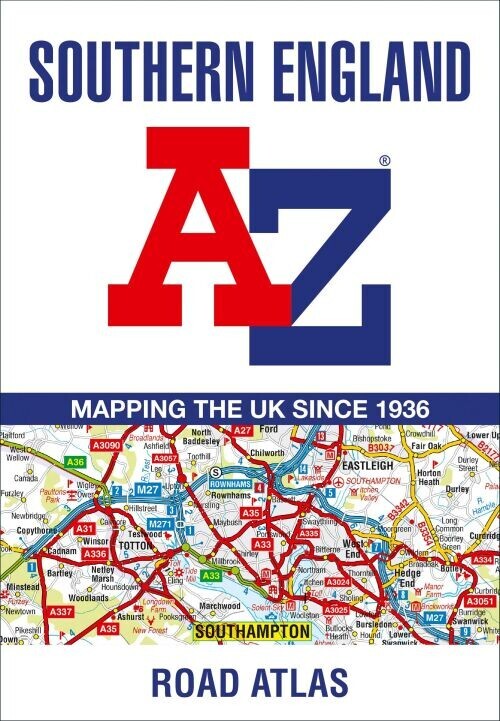
Discover the Southern England Regional Road Atlas, a vibrant, full-colour guide packed with 39 pages of continuous road maps. It covers a wide area including major towns and cities like Bristol, Swindon, Reading, Portsmouth, and even the Isle of Wight.
A comprehensive and detailed road atlas for navigating Southern England with ease.
This atlas is presented at a clear scale of 2.5 miles to 1 inch (1.58 km to 1 cm), making it easy to read and follow. It features:
Additionally, the atlas includes 15 detailed plans for key locations such as Bath, Bournemouth, Bristol, Cardiff, Guildford, Portsmouth, Reading, Salisbury, Southampton, Swindon, Taunton, Winchester, Windsor, London Heathrow Airport, and Poole Port.
The extensive index provides a thorough listing of cities, towns, villages, hamlets, and other locations covered within the atlas, making it simple to find your destination.
Yderligere information
| Serie | Atlas |
|---|---|
| Kategori | Bøger |
| Genre(r) | Rejsebøger Storbritannien |
| Forlag | Collins |
| Udgivelsesdato | Er udgivet |
| Sprog | Engelsk |
| ISBN-13 | 9780008560560 |
| ISBN-10 | 0008560560 |
| Indbinding | Hæftet |
| Udgave | 13 |
| Sidetal | 60 |
| Genveje | Atlas - Bøger |
| Tags | Southern England Regional Road Atlas A, Bøger, Bog |
| GPSR | Produktsikkerhed |